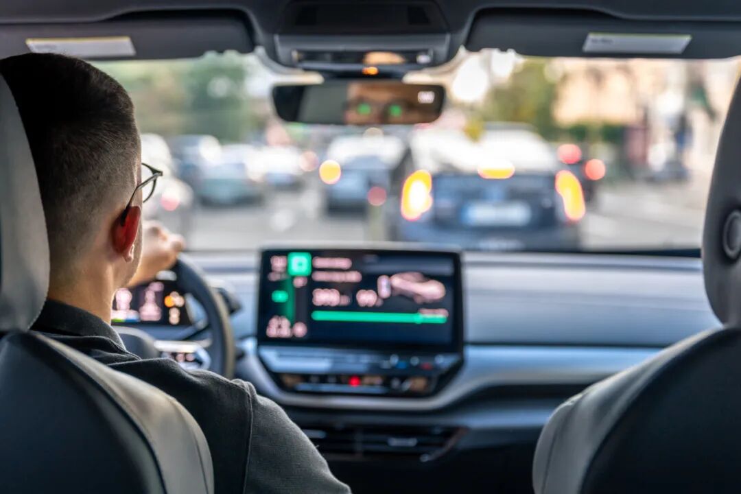

Satellite-based road safety technology is reshaping the game.
Image source:Freepik.com
Olga Gonzalez
Vice President of Marketing at Valerann Company
Michael Vardi
Valerann's Chief Commercial Officer and Co-founder
Roads remain one of the most dangerous forms of infrastructure, with approximately 1.19 million people losing their lives in road traffic accidents each year.
Using AI and satellite technology, we can predict, prevent, mitigate, and respond to road traffic risks before they escalate.
We can leverage AI-driven insights to make roads more efficient and save lives.
According toWorld Health OrganizationAlthough automotive and road safety technologies have made significant advancements, road traffic accidents still claim approximately...119Tens of thousands have lost their lives. The need for innovative solutions has never been more urgent. To this end,"Zero Vision"These initiatives aim to achieve the global goal of zero road traffic fatalities.
Traditional road safety measures, such as traffic lights—and even smart traffic signals—have played their part in global safety efforts, but today they’re no longer enough. Satellite-based road safety technologies are now reshaping the landscape, fundamentally transforming how we monitor, respond to, and mitigate risks on the roads—at a distance from the ground.2000Closely monitoring traffic and accident conditions in low Earth orbit, at kilometers.
Recently, asAIThe emergence of AI-driven traffic management and accident detection platforms is playing a critical role in significantly reducing the number of fatalities and serious injuries on road networks—marking a new era in road safety. Some experts even believe this represents the most significant advancement in road safety since the invention of the seatbelt.
The development of road safety technology
For decades, road safety has relied on analyzing accident-prone areas, deploying patrol officers, and utilizingCCTVMonitoring, etc.Reactive measuresHowever, these methods have limitations: they rely on ground-based infrastructure, cannot monitor all areas in real time, and typically provide information only after an incident has already occurred.
Satellite technology has brought about a transformation. Now, by leveraging geospatial data, advanced imaging, and real-time connectivity, we can proactively implement road safety measures. This allows us to predict, prevent, mitigate, and respond to risks with unprecedented efficiency—before accidents even occur.
The European Space Agency's Business Applications and Space Solutions (BASS) ProgramExploring the potential of space technology. Advanced Road Traffic Management Solutions CompanyValerannWill support the development of aAIA satellite-data-driven traffic monitoring and accident detection platform to enhance road safety and efficiency nationwide.
This initiative aligns withBASSThe plan aims to support the development and deployment of innovative services that leverage space technology and data in key markets such as transportation. This also aligns withThe EU's "Global Gateway" StrategyAligns with the goal of achieving seamless, sustainable, and environmentally friendly international corridor management.
This transformative new solution will equip organizations with the critical capabilities needed to manage the national road network. It will encompass comprehensive monitoring of traffic and road assets, robust risk management, incident handling, and priority prioritization—while also extending real-time traffic monitoring to remote rural roads that often lack advanced surveillance systems.In 2019, 931 people lost their lives on Britain's rural road network., while on the highway it is100People highlight the need to focus on different types of roads.
Investing in real-time traffic monitoring for rural areas and highways is equally crucial, as it can significantly enhance safety and efficiency while also reducing emergency response times. Satellite positioning data generated by mobile and vehicle navigation apps will play a key role in enabling these capabilities.
How satellites make roads safer
- Real-time Traffic Monitoring and Hazard Detection:High-resolution satellite imagery, combined withAIAnalysis can identify congestion patterns, monitor high-accident areas, and detect road hazards such as landslides, floods, or infrastructure damage. Governments and traffic management centers can leverage this data to issue early warnings, optimize traffic flow, and proactively prevent potential disasters.
- Enhanced Navigation and Driving Assistance:GPS Technology has completely transformed the way we navigate, and today, thanks to advancements in satellite connectivity, we're stepping into a brand-new era of vehicle safety. With satellites, precise lane guidance, real-time hazard alerts, and dynamic route adjustments have become possible—significantly reducing the likelihood of human error, which remains one of the leading causes of accidents.
- Enhancing emergency response capabilities: In an accident, every second counts. Satellite technology enables emergency responders to pinpoint the exact location of an incident—no matter how remote the area. Meanwhile, in-vehicle remote communication systems can automatically send distress signals to emergency services, ensuring a faster response time and potentially saving lives.
- Smart Infrastructure and Predictive Maintenance: Many road accidents are caused by poor infrastructure, such as potholes or poorly designed intersections. Satellites can continuously monitor roads, identifying wear and tear early—before they become major safety hazards. This enables proactive maintenance, helping to reduce risks and allowing governments to optimize their spending on repairs.
- Self-driving vehicles achieve "zero fatalities" on the road:The future of road safety belongs to autonomous driving. Self-driving cars heavily rely on satellite data for precise positioning, real-time updates, and seamless communication with smart infrastructure. As these technologies continue to advance, we are steadily moving toward a world where human error—responsible for the majority of accidents—is eliminated.94%) in the world, road fatalities will become a thing of the past.
Overcome challenges, embrace the future
Satellite-based road safety is not without its challenges. Data security, privacy concerns, and the need for widespread adoption are all critical issues that must be addressed. Still, the benefits far outweigh the drawbacks.
Governments, technology providers, and transportation authorities—whether on the ground or in space—must collaborate closely to fully unlock the potential of satellite-based road safety. This includes leveraging geospatial analytics, real-time connectivity, andAIInvestment driven by innovation will pave the way for building smarter, safer roads worldwide.
Road safety is no longer just timely warnings on variable message signs—it’s about leveraging the power of space technology to protect lives on Earth. Satellite technology will become the ultimate guardian of our roads, delivering real-time intelligence, predictive insights, and life-saving innovations.
The question is no longer whether we should embrace satellite-based road safety technology—but how quickly we can scale it up to save lives. The future of transportation depends on it.

The above content solely represents the author's personal views.This article is translated from the World Economic Forum's Agenda blog; the Chinese version is for reference purposes only.Feel free to share this in your WeChat Moments; please leave a comment at the end of the post or on our official account if you’d like to republish.
Translation:Di Chenjing | Editor: Wan Ruxin
The World Economic Forum is an independent and neutral platform dedicated to bringing together diverse perspectives to discuss critical global, regional, and industry-specific issues.
Follow us on Weibo, WeChat Video Accounts, Douyin, and Xiaohongshu!
"World Economic Forum"


